OSA SOUTH
OSA SOUTH
OSA SOUTH
The Osa South region includes the southern half of the Osa Peninsula and contains many of its most iconic landmarks most stunning landscapes, shorelines, and wildlife.
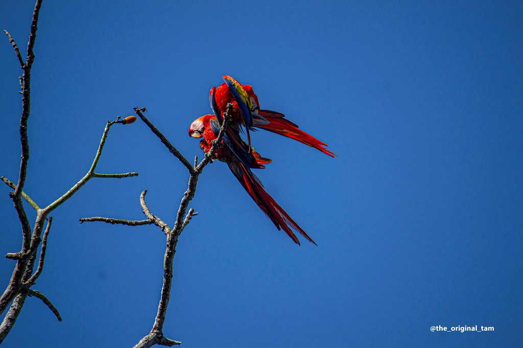
Osa South is bounded to the east by the Golfo Dulce and to the south and west by the Pacific Ocean. To the north it is mostly bounded by Corcovado National Park but also borders the Osa North and Puerto Jimenez regions. It is a part of the peninsula that has a high population of wild animals that are typically easy to observe in their natural environment. Much of its extent is also auriferous with gold occurring in alluvial stream deposits and river channels. Its main economy has historically been cattle, rice and logging, but ecotourism has overshadowed these for the past 20 years or so, particularly given the increased visitation to the Osa’s ecologic lodestar, Corcovado National Park, which is a World Heritage Site and the crown jewel of Costa Rica’s vaunted national park system.
Continued at the [bottom] of the page.
The Osa South region includes the southern half of the Osa Peninsula and contains many of its most iconic landmarks most stunning landscapes, shorelines, and wildlife.
Osa South is bounded to the east by the Golfo Dulce and to the south and west by the Pacific Ocean. To the north it is mostly bounded by Corcovado National Park but also borders the Osa North and Puerto Jimenez regions. It is a part of the peninsula that has a high population of wild animals that are typically easy to observe in their natural environment. Much of its extent is also auriferous with gold occurring in alluvial stream deposits and river channels. Its main economy has historically been cattle, rice and logging, but ecotourism has overshadowed these for the past 20 years or so, particularly given the increased visitation to the Osa’s ecologic lodestar, Corcovado National Park, which is a World Heritage Site and the crown jewel of Costa Rica’s vaunted national park system.
Continued at the [bottom] of the page.
Miramar - |
Zapote - |
Guanabana - |
Tamales - |
Sombrero - |
Carbonera - |
Matapalo |
Miramar - |
Zapote - |
Guanabana - |
Tamales - |
Sombrero - |
Carbonera - |
Matapalo |
Miramar - |
Zapote - |
Guanabana - |
Tamales - |
Sombrero - |
Carbonera - |
Matapalo |
| Property ID | Property Name | Class | Area (Ha) | Price | Video |
|---|---|---|---|---|---|
| 2025061 | Sombrero - 1 | Ocean Front | 1 | $495,000.00 | See here |
| 2025057 | Tamales - 1.2222 | Ocean Front | 1.2222 | $3,495,000.00 | |
| 2024078 | Tamales - 0.5 | Rural | 0.5002 | $275,000.00 | |
| 2024061 | Ojo de Agua - 4.7 | Ocean Front | 4.7 | $1,975,000.00 | See here |
| 2024049 | Zapote - 17 | Ocean Front | 17 | $5,100,000.00 | See here |
| 2024034 | Carbonera - 1.3 | Ocean View | 1.3 | $1,985,000.00 | |
| 2024031 | La Balsa - 249 | Mountain Forest | 249 | $1,550,000.00 | See here |
| 2023013 | La Balsa - 40 | Mountain Forest | 40 | $499,000.00 | |
| 2022010 | La Balsa - 2 | Mountain Forest | 2 | $180,000.00 | |
| 2021084 | Carate - 1.6 | Ocean View | 1.6 | $850,000.00 | |
| 2021083 | La Balsa - 110 | Mountain Forest | 110 | $2,500,000.00 | |
| 2021036 | Matapalo -1.55 | Ocean View | 1.55 | $1,553,000.00 | |
| 2021034 | Matapalo - 0.47 | Mountain Forest | 0.47 | $280,000.00 | |
| 2020031 | Tamales - 2.5 | Ocean Front | 2.5686 | $800,000.00 | See here |
| 2019038 | La Balsa - 5.5 | Mountain Forest | 5.5 | $375,000.00 | See here |
| 2019031 | La Balsa - 5 | Mountain Forest | 5 | $250,000.00 | See here |
| 2019015 | Matapalo - 0.30 | Ocean Front | 0.3096 | $1,395,000.00 | See here |
| 2019011 | Miramar - 2.5 | Mountain Forest | 2.5 | $275,000.00 | |
| 2019009 | Matapalo - 29.78 | Ocean View | 29.78 | $3,750,000.00 | |
| 2019008 | La Balsa - 58 | Mountain Forest | 58 | $1,000,000.00 | |
| 2015014 | Carate - 63 | Ocean View | 63.6 | $637,000.00 | |
| 2015012 | La Balsa - 45 | Mountain Forest | 45 | $675,000.00 |
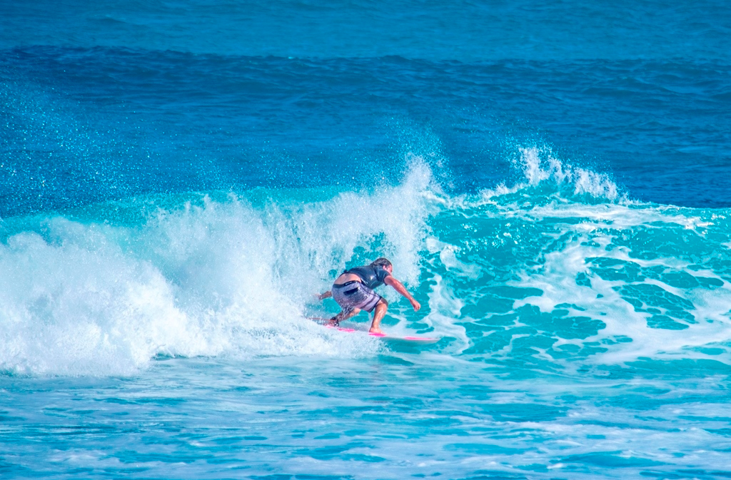
Osa South includes the fabled surf destinations of Matapalo and the similarly coveted neighboring regions of Carbonera, Sombrero and Tamales, each of which is lapped daily by the waves of the Golfo Dulce. North of Tamales, the neighborhoods of Guanabana and Zapote are behind the jutting Punta Tigre, which shelters the shorelines from the open Pacific Ocean and knocks the surf down a bit, making these areas less appealing to long boarders and wave rippers, but even more appealing to body surfers and swimmers.
Much of the terrain of the eastern sector of Osa South is flat, comprising an alluvial plane that rises very gently from sea level back to the foothills of the peninsular cordillera. These foothills start out close to the sea in the northern part of Osa South but then recede back from the shoreline in the Tamales area to then converge southward back again toward the coast.
Wherever the mountains are not too far back from the coastline the highlands offer great views of the gulf and its dreamy ribbons of mountains beyond that stairstep their way to the lavender heights of the Central American cordillera. Panama’s highest mountain, Baru Volcano, is visible on a clear day from all points of Osa South with an ocean view.
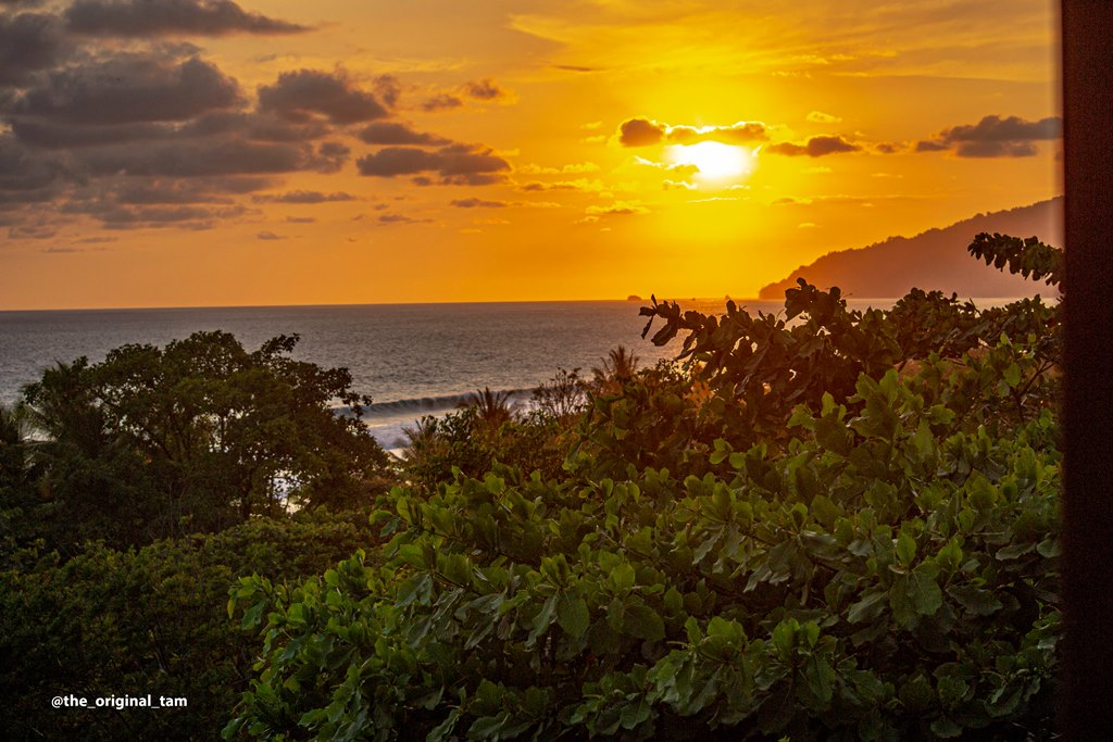
Rounding the bend of Cape Matapalo, the Pacific side of Osa South is made up mostly of large tracts of farm and ranch land on the flat coastal parts with forested mountain farms in the uplands. The end of the Costa Rican national highway system at Carate represents the farthest distance that it is possible to travel by highway from San José. The final five kilometers of this highway, from Rio Oro to Carate, is rolling mountainous terrain with deep jungle and stunning views of the Pacific and coastal lagoons teeming with snook and crocodiles. Carate is the jumping-off point for Corcovado National Park hikers and one of the Osa’s most celebrated destinations.
Osa South is completely off grid without any electrical power distribution and no public water utility anywhere. All power must be generated where it is used, either by solar power, hydroelectric power generation, or on an emergency basis using a fossil-fuel generator. An abundance of water means that water supply typically comes from springs or streams on private property. Shallow groundwater depths along the coastal planes means that hand-dug wells tap an abundance of high-quality water as little as a few meters from the land surface. Rarely are expensive bored wells required to source water. While the Pacific side has historically been beyond cell signal, a new cell tower in the mountains now distributes both telephony and Internet to the entire region across the 4G network.
Coastal properties are administered primarily by the Municipality of Golfito under use permits. A few coastal areas have been designated Natural Patrimony sites and are administered by MINAE.
Much of the terrain of the eastern sector of Osa South is flat, comprising an alluvial plane that rises very gently from sea level back to the foothills of the peninsular cordillera. These foothills start out close to the sea in the northern part of Osa South but then recede back from the shoreline in the Tamales area to then converge southward back again toward the coast.
Wherever the mountains are not too far back from the coastline the highlands offer great views of the gulf and its dreamy ribbons of mountains beyond that stairstep their way to the lavender heights of the Central American cordillera. Panama’s highest mountain, Baru Volcano, is visible on a clear day from all points of Osa South with an ocean view.
Rounding the bend of Cape Matapalo, the Pacific side of Osa South is made up mostly of large tracts of farm and ranch land on the flat coastal parts with forested mountain farms in the uplands. The end of the Costa Rican national highway system at Carate represents the farthest distance that it is possible to travel by highway from San José. The final five kilometers of this highway, from Rio Oro to Carate, is rolling mountainous terrain with deep jungle and stunning views of the Pacific and coastal lagoons teeming with snook and crocodiles. Carate is the jumping-off point for Corcovado National Park hikers and one of the Osa’s most celebrated destinations.
Osa South is completely off grid without any electrical power distribution and no public water utility anywhere. All power must be generated where it is used, either by solar power, hydroelectric power generation, or on an emergency basis using a fossil-fuel generator. An abundance of water means that water supply typically comes from springs or streams on private property. Shallow groundwater depths along the coastal planes means that hand-dug wells tap an abundance of high-quality water as little as a few meters from the land surface. Rarely are expensive bored wells required to source water. While the Pacific side has historically been beyond cell signal, a new cell tower in the mountains now distributes both telephony and Internet to the entire region across the 4G network.
Coastal properties are administered primarily by the Municipality of Golfito under use permits. A few coastal areas have been designated Natural Patrimony sites and are administered by MINAE.
Osa South includes the fabled surf destinations of Matapalo and the similarly coveted neighboring regions of Carbonera, Sombrero and Tamales, each of which is lapped daily by the waves of the Golfo Dulce. North of Tamales, the neighborhoods of Guanabana and Zapote are behind the jutting Punta Tigre, which shelters the shorelines from the open Pacific Ocean and knocks the surf down a bit, making these areas less appealing to long boarders and wave rippers, but even more appealing to body surfers and swimmers.
Much of the terrain of the eastern sector of Osa South is flat, comprising an alluvial plane that rises very gently from sea level back to the foothills of the peninsular cordillera. These foothills start out close to the sea in the northern part of Osa South but then recede back from the shoreline in the Tamales area to then converge southward back again toward the coast.
Wherever the mountains are not too far back from the coastline the highlands offer great views of the gulf and its dreamy ribbons of mountains beyond that stairstep their way to the lavender heights of the Central American cordillera. Panama’s highest mountain, Baru Volcano, is visible on a clear day from all points of Osa South with an ocean view.
Rounding the bend of Cape Matapalo, the Pacific side of Osa South is made up mostly of large tracts of farm and ranch land on the flat coastal parts with forested mountain farms in the uplands. The end of the Costa Rican national highway system at Carate represents the farthest distance that it is possible to travel by highway from San José. The final five kilometers of this highway, from Rio Oro to Carate, is rolling mountainous terrain with deep jungle and stunning views of the Pacific and coastal lagoons teeming with snook and crocodiles. Carate is the jumping-off point for Corcovado National Park hikers and one of the Osa’s most celebrated destinations.
Osa South is completely off grid without any electrical power distribution and no public water utility anywhere. All power must be generated where it is used, either by solar power, hydroelectric power generation, or on an emergency basis using a fossil-fuel generator. An abundance of water means that water supply typically comes from springs or streams on private property. Shallow groundwater depths along the coastal planes means that hand-dug wells tap an abundance of high-quality water as little as a few meters from the land surface. Rarely are expensive bored wells required to source water. While the Pacific side has historically been beyond cell signal, a new cell tower in the mountains now distributes both telephony and Internet to the entire region across the 4G network.
Coastal properties are administered primarily by the Municipality of Golfito under use permits. A few coastal areas have been designated Natural Patrimony sites and are administered by MINAE.